State
California
39,287,377 people14,644,735 units
Local estimator starting points
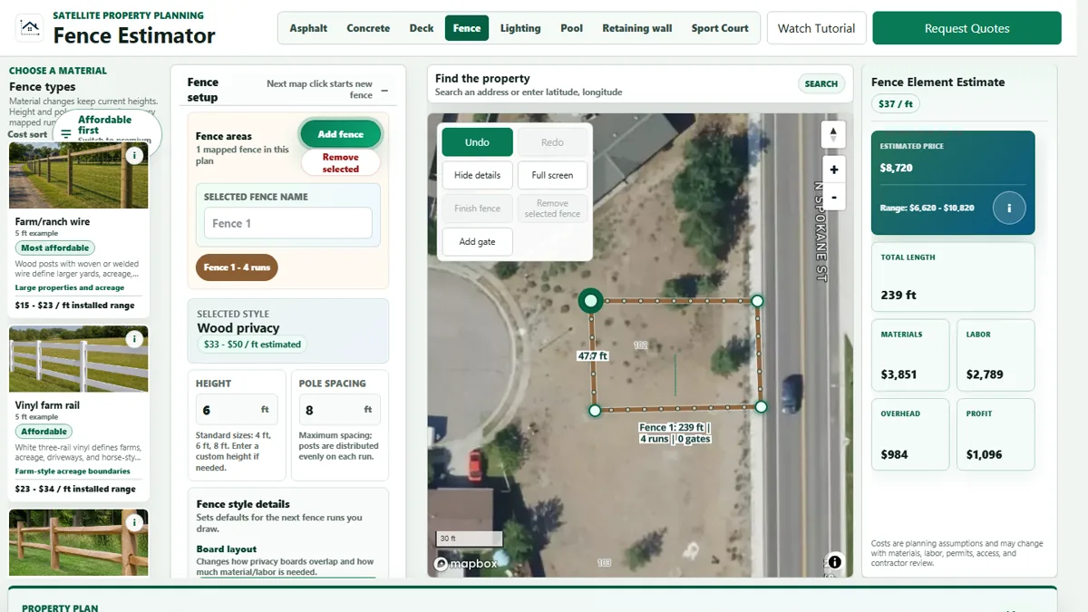
Search by city or state to review local cost, weather, soil, permit, and labor context. Then open the estimator to draw the real project on the property map when you want a more specific planning range.
Use your browser location to surface nearby generated city pages, then open a local page before designing the project on the map.
Search results
Choose a project page, review the local context, then open the matching estimator from that page.
State
City / place
Census place
Census place
Census place
Census place
Census place
Census place
Census place
City / place
Census place
City / place
Census place
City / place
Start with a high-population city page, review the local context, then open the estimator from there when the property layout matters.
City / place
City / place
City / place
City / place
City / place
City / place
City / place
City / place
City / place
City / place
City / place
City / place
State estimator pages
State pages give broad local context and link down into city pages as they qualify. Each project page points back to the matching estimator.