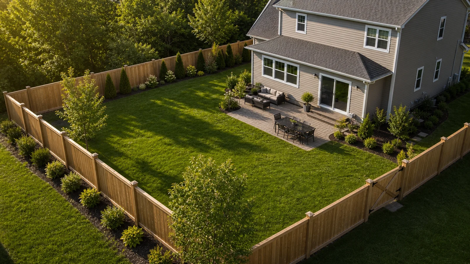
Plan a fence in Tuscaloosa County, AL
This page is meant to get you from local planning context to a real mapped estimate. Review the data, then use the estimator to draw the actual fence and choose the options that affect the range.
Location to estimator
Start with Tuscaloosa County, AL, then draw the exact property.
The page uses broad public data for Tuscaloosa County, AL. The estimator becomes more useful when you enter the property address and draw the actual fence, because measurements and options can be priced from the real layout.
- Latitude
- 33.2902
- Longitude
- -87.5228
- Reference zoom
- 8
Planning note: Regional cost levels help explain why local planning ranges may differ from national examples.
Open map referenceFence options
All fence styles available for Tuscaloosa County, AL planning
These match the style choices available in the estimator, so visitors can compare the full option set before drawing the project on the property map.
Planning note: These are the same option families available in the estimator.
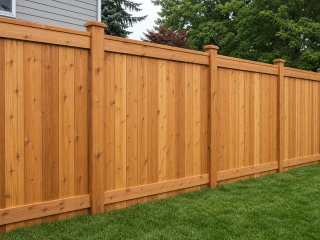
Wood privacy
Natural cedar boards provide full privacy and a warm, traditional residential look.
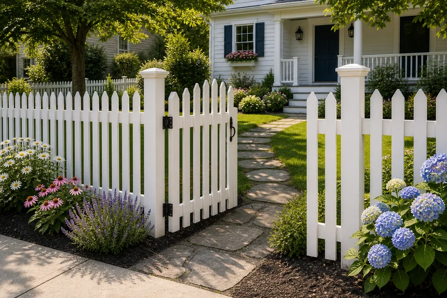
Wood picket
Traditional pickets create a friendly front-yard boundary while keeping an open feel.
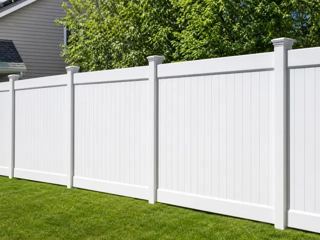
Vinyl privacy
Solid interlocking panels deliver full privacy with low routine maintenance.
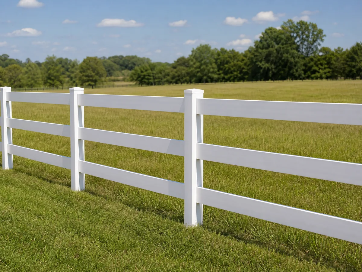
Vinyl farm rail
White three-rail vinyl defines farms, acreage, driveways, and horse-style boundaries with low routine maintenance.
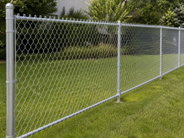
Chain link
Galvanized mesh creates a durable, economical boundary while preserving visibility.
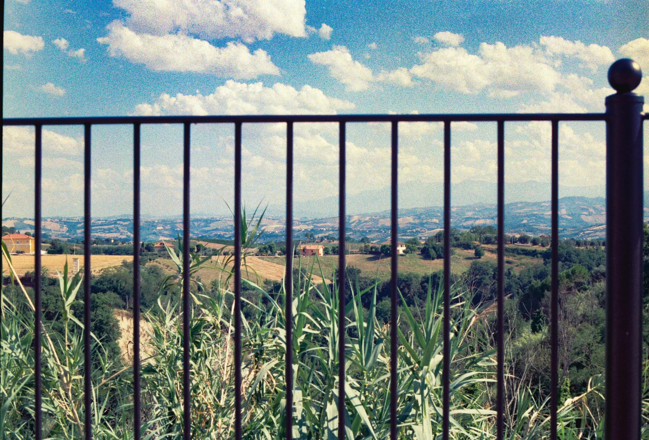
Aluminum
Powder-coated pickets provide an open ornamental appearance without rust-prone steel.

Ornamental iron
Decorative iron-style pickets provide a heavier ornamental boundary with a formal appearance.
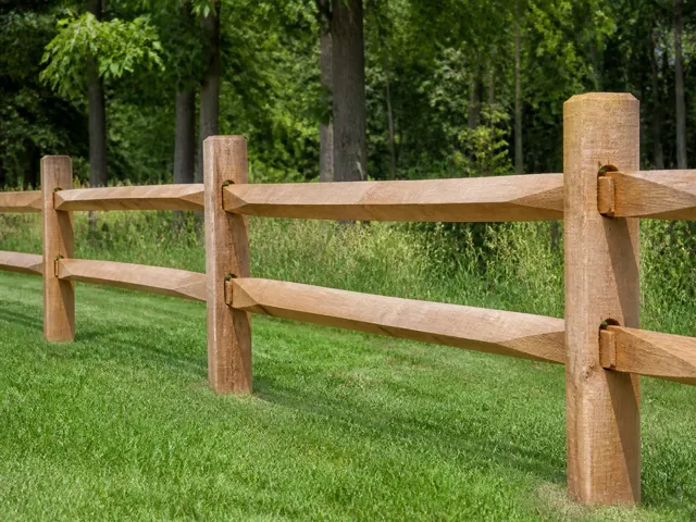
Split rail
Open wood rails define large properties with a simple rural or natural appearance.
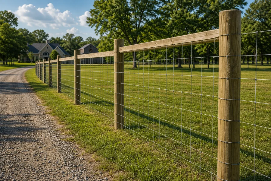
Farm/ranch wire
Wood posts with woven or welded wire define larger yards, acreage, and utility boundaries.
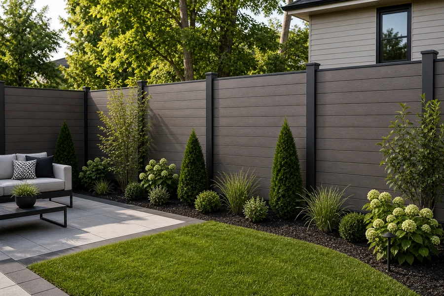
Composite
Composite boards offer a modern privacy look with higher material cost and lower upkeep.
Estimator preview
Use Tuscaloosa County, AL context with the actual property layout.
Local data explains the conditions around the area. The estimator uses the property address, drawn layout, selected style, measurements, photos, and options to build a more specific planning range.
How the estimator works
From local research to a clearer fence plan
- 01
Find the property
Search the address or use coordinates to open the yard on satellite imagery.
- 02
Draw fence runs
Click each corner, close a perimeter, or start extensions from existing posts.
- 03
Set materials and gates
Compare wood, vinyl, chain link, aluminum, and split rail with heights and gate openings.
- 04
Review the estimate
See length, post spacing, grade notes, planning cost range, and a contractor-ready summary.
Local cost and contractor-market context
These signals help explain why planning prices can differ by area, but they work best after the estimator has the exact property layout and selected fence options.
Planning note: Labor and contractor-market signals help explain local price pressure around Tuscaloosa County, AL; exact scope still depends on the property layout and selected fence options.
Labor signal
United States shows Cement Masons and Concrete Finishers wage context near $27 per hour.
County labor market
United States has 949,050 Construction establishments and 8,245,605 average employment, with average weekly pay near $1,631.
Regional cost level
Regional price parity context is loaded for United States with an index factor near 100%.
Construction activity
Permit activity shows 21,894 recent permits and a demand factor near 100%.
Fence details that change the estimate
The local data helps explain cost pressure, but the price still depends on the exact project design. For fence work, the highest-impact inputs usually include:
- linear feet
- height
- gate count and width
- post spacing
- grade
- old fence removal
- access
Weather, soil, and risk notes
Site conditions can affect prep, excavation, drainage, schedule, and review needs. Use these notes as reminders, then draw the property-specific scope so contractors can evaluate the real project.
Planning note: Soil context can point to excavation, footing, drainage, base-prep, or review questions.
Weather and climate
Available normals show 56.37 inches of precipitation.
- freeze/thaw can affect post depth and concrete setting
- wind exposure can change panel, post, and footing decisions
Soil and base prep
USDA soil summary data has not been loaded for this area yet.
- rock, clay, and drainage can change post-hole labor
- soft or expansive soils may need a more conservative post plan
Mapped hazard context
FEMA hazard context has not been loaded for this area yet.
What is intentionally not shown as local data
National material inflation is useful for admin pricing models, but it is not city-specific enough to present as a local-page signal. Broad city elevation and slope are also left out because grade can change dramatically across one parcel.
Use the estimator map for property-specific measurements, and use terrain or excavation tools inside the estimator where they apply. If you request quotes later, the mapped plan gives participating contractors more useful information to review.
Next step
Ready for a more specific fence range?Start with the map and build the property plan so the local context and actual design can work together.