Homeowners: Measure Property on a Map, Verify Parcels, Get Estimates
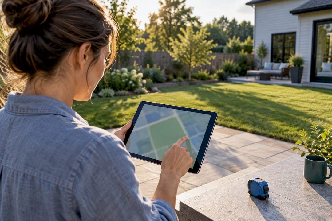
Most online map tools let you draw a polygon or drop points around a boundary to get an instant area reading, while Google Maps offers a built-in distance tool for perimeters. Results usually appear in square feet, acres, or square meters, and accuracy depends on your imagery and how carefully you trace the edges. County parcel viewers remain the authoritative check for property boundaries, and tools like Property Improvement Estimator turn that traced shape into a planning estimate.
TL;DR:
- Most online map tools provide quick area and perimeter estimates, but accuracy heavily depends on imagery quality and careful edge tracing.
- For legal boundary confirmation, county parcel viewers remain the authoritative source, though their data quality varies by jurisdiction.
- Manual map measurements are suitable for rough estimates such as gardens or mulch beds but are insufficient for permits or boundary disputes.
- The best results come from desktop tools with finer control, though mobile helps for quick field checks, provided users zoom in and verify boundary features.
- Exported shape data can be used for preliminary material and labor estimates, but professional surveying is necessary for formal legal or permit requirements.
Table of Contents
- Draw a polygon or drop points to measure area
- What the numbers actually tell you
- Improving accuracy and confirming your boundaries
- Choosing desktop or mobile and dodging common mistakes
- Turning a map measurement into a real project estimate
- When a DIY measurement is enough and when to call a professional
- Next step: turn your measurement into a local estimate
- Sources
- FAQ
Draw a polygon or drop points to measure area
You can measure a property’s area on desktop or mobile in a few minutes, and the workflow is nearly identical across most map tools.
On desktop, start by typing your address into the search bar and zooming until the property fills the screen. Many browser-based tools, such as the draw-a-polygon calculators found on sites like Maplity, let you click a “draw” button and place vertices directly on the map. Google Maps handles this differently: right-click a starting point, choose “Measure distance,” then click each additional corner to build a path around the lot, as described in Google’s own measurement help. Double-click or tap “finish” to close the shape and reveal area and perimeter.
On mobile, open the app or mobile web version of your chosen tool, switch to measurement mode, then tap around the boundary one point at a time. Touch screens make fine placement harder, so zoom in before tapping and drag a point afterward if it lands off the mark.
A short numbered version of the core steps:
- Search your address and zoom in until property lines are visible.
- Select the draw polygon or measure distance tool.
- Click or tap each corner of the boundary in order.
- Close the shape to reveal area and perimeter.
- Export or copy the result if the tool supports GeoJSON or KML.
Editing tools typically let you undo a misplaced vertex, drag points to adjust the shape, or add extra points along a curve for a closer trace. Some free calculators support exporting your polygon as GeoJSON or KML, which preserves exact coordinates for reuse in a spreadsheet or a dedicated estimator, according to Maplity’s area calculator. Most tools also let you switch units on the fly, so you can flip between acres and square feet without redrawing anything.
What the numbers actually tell you
Map tools typically return area in square feet, square meters, acres, hectares, or square miles, and most switch units automatically as the shape grows larger. A small yard shows up in square feet, while a rural parcel might display in acres without you changing any setting, which can affect your home valuation.
Area and perimeter answer different questions:
- Area tells you how much surface you are covering, which matters for sod, gravel, or concrete quantities.
- Perimeter tells you the boundary length, which is what you need for fencing or edging.
- Rounding varies by tool, so treat the figure as an estimate rather than a survey-grade number.
Free browser area calculators return results instantly in multiple units and often support GeoJSON or KML export, according to Maplity, which makes them a practical starting point before any contractor conversation. Adding more vertices along a curved edge improves the trace, but returns diminish once the segments are shorter than the imagery’s own resolution can distinguish.
Improving accuracy and confirming your boundaries
A map measurement is only as good as the imagery behind it, so check the capture date before you trust the trace. Older images may miss a new fence, an addition, or recent landscaping, and some tools let you compare an oblique view against the standard overhead shot to catch details the top-down image misses, based on guidance from the National Geospatial Program.
For the legal boundary itself, county parcel or assessor viewers remain the standard reference. These systems display recorded lines and ownership records used for taxation, though the same source notes that data quality and detail vary by jurisdiction, so treat parcel data as dependent on your specific county. Sites built around this idea, such as Find Property Size, even let you toggle a parcel overlay directly onto the aerial image to check your trace against the recorded line.
A few habits make the process more reliable:
- Zoom in until physical features like a roofline, fence, or driveway edge are visible, then snap vertices to them.
- Compare two imagery sources when the boundary looks ambiguous.
- Save or export your finished polygon before closing the tool.
- Cross-check against a parcel viewer rather than relying on aerial guesswork alone.
Pro Tip: When a boundary runs along a fence or hedge that has clearly shifted over the years, trust the parcel line over the visible landscaping.
Map measurements work well for gardens, mulch beds, or a preliminary material estimate. Legal disputes, permit applications, and precise setback requirements call for a licensed surveyor instead, since only a survey carries legal weight.
Choosing desktop or mobile and dodging common mistakes
Desktop measuring gives you finer control. A mouse lets you place many vertices precisely and makes exporting a file far easier than doing the same on a small screen. Mobile tools are better suited to a quick field check, standing on the actual property while confirming a rough boundary or spotting a discrepancy.
Mobile measuring comes with its own pitfalls:
- Accidental panning while tapping can shift the map mid-measurement.
- A low zoom level makes it easy to place a vertex several feet off target.
- Finger taps are less precise than a mouse click, especially near corners.
The fixes are simple: zoom in with a two-finger gesture before placing each point, add vertices slowly rather than rushing around the boundary, and switch to satellite imagery if the default view is too flat to show edges clearly. For any measurement you plan to hand off to a contractor, finish the job on desktop where you can refine vertices and export cleanly.
Turning a map measurement into a real project estimate
Once you have an area and perimeter, that shape becomes the foundation for a material and labor calculation rather than an abstract number. Fence length feeds directly into a materials count, deck footprint determines framing and decking quantities, and pool dimensions drive excavation and equipment sizing.

Some online platforms use this logic: you draw the project’s footprint on an aerial image and the platform returns a dimension-based estimate reflecting local costs. [brand_signal] Property Improvement Estimator’s project cost calculator is built specifically to take a hand-drawn shape and turn it into a priced scope rather than a generic per-square-foot guess.
A few ways this plays out in practice:
- A traced yard perimeter becomes a linear-foot fence estimate with materials and labor ranges.
- A deck footprint drawn on the map becomes a framing and decking quantity takeoff.
- A finished polygon can be attached to a Local project report that contractors receive alongside the drawing.
This is the same reasoning behind Maplity’s point that pairing a traced polygon with export data speeds up contractor handoff, since everyone works from the same measured shape instead of a verbal description.
When a DIY measurement is enough and when to call a professional
A polygon you draw yourself is fine for planting beds, mulch coverage, or a rough material budget. It stops being enough the moment a permit, a setback rule, or a boundary dispute enters the picture, because only a licensed survey carries legal standing in those cases.
Cross-check any DIY trace against your county’s parcel viewer before you commit to a design, and bring in a surveyor once formal accuracy matters more than a working estimate.
— Christian
Next step: turn your measurement into a local estimate
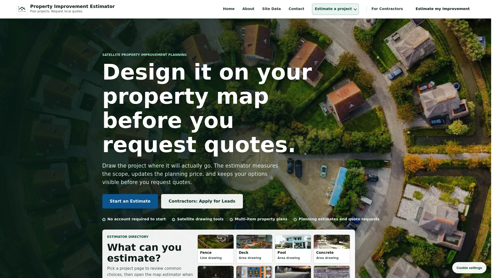
Once you have a traced polygon and a rough area, some platforms let you redraw or upload that shape directly onto your own aerial image to get material and labor ranges tied to your actual dimensions and local costs, with no account required to start.
- Draw your fence line and get a Fence Estimator range for materials and labor.
- Outline a deck footprint for a Deck Estimator breakdown.
- Sketch a pool shape for a Pool Estimator sized to your yard.
Sources
- Measure distance, area & directions - Google Maps Help
- Authoritative source: parcel viewer | U.S. Geological Survey
- Area Calculator on Map — Maplity
- Property Size & Lot Size Calculator | Find Property Size
FAQ
Can I measure a property on Google Maps?
Yes, Google Maps includes a built-in distance tool: right-click a point on desktop, choose “Measure distance,” and click each corner to trace the boundary, according to Google’s help documentation. It does not offer a one-click land area button, so you build the shape manually by adding points around the perimeter.
How can I find out the measurements of my property?
Your county parcel or assessor viewer holds the recorded boundary and lot dimensions used for tax and legal purposes, and it is the preferred authoritative source for this information. For a quick estimate instead, an online area calculator lets you trace the visible boundary on satellite imagery and read the area directly.
Can I measure land with my phone?
Yes, most mapping tools work on mobile by letting you tap points around a boundary in measurement mode, though touch input is less precise than a mouse for fine placement. Zooming in with a two-finger gesture before each tap and switching to satellite view helps reduce placement errors on a small screen.
Is there a free app to measure area of land?
Several free browser-based tools let you draw a polygon and get area instantly in multiple units, often with GeoJSON or KML export for later use, as noted by Maplity’s area calculator. Sites like Find Property Size add parcel overlays so you can compare your trace against recorded boundary lines.